Photo: manfredrichter / Pixabay
In the summer of 1947, a London barrister who had never been east of Europe was given a few weeks and a set of outdated maps to carve a border through 400 million lives. Up to two million died. Fourteen million fled. The wound has never closed.
Imagine being handed a pencil, some out-of-date maps, and five weeks — and being told to draw a line that will decide which country hundreds of millions of people wake up in, which side of a new border their home, their temple, their family’s graves will fall on. Now imagine you have never been to the place in your life.
That was the job given to Sir Cyril Radcliffe in the summer of 1947. A respected London barrister who had never travelled east of Europe, he arrived in India on 8 July and was given roughly five weeks to partition it. The border he drew — the Radcliffe Line — split British India into India and Pakistan. And it triggered one of the largest and bloodiest forced migrations in human history.
How you divide a civilisation by mistake
The rush was the point, and the tragedy. Britain, exhausted and broke after the Second World War, wanted out of India fast. The last Viceroy, Lord Mountbatten, dramatically brought the deadline forward — independence, originally planned for 1948, was suddenly set for August 1947. That left almost no time to plan the most delicate operation imaginable: separating two new nations along religious lines.
Radcliffe worked from population data and maps, not the ground. He never toured the villages his line would cut in half. And in a final, almost unbelievable decision, the boundary award was kept secret until after independence — the maps were published on 17 August, two days after India and Pakistan had already become free countries. Millions went to sleep not knowing which nation they lived in.
When the line was finally revealed, entire communities discovered they were on the “wrong” side overnight.
The human cost
What followed was catastrophe. As the border became real, up to fourteen million people — some estimates run higher — fled in both directions: Hindus and Sikhs toward India, Muslims toward the new Pakistan. Trains crossed the border carrying nothing but corpses. Neighbours who had lived alongside each other for generations turned on one another.
The death toll is disputed, as these things always are, but the most cited figure is that up to two million people were killed in the violence. Women were abducted and assaulted in enormous numbers. It was not a war between armies; it was a slaughter between neighbours, set off by a line on a map that most of them never got to see coming.
Britain didn’t invent India’s divisions — but it weaponised them
Here honesty matters, because the easy version of this story is also the false one. Partition was not simply something the British did to a united India against its will. Real political forces were at work: the Muslim League’s demand for a separate homeland, deep anxieties among Muslims about their place in a Hindu-majority India, and leaders on all sides who could not agree.
But the British hand is unmistakable, and it reaches back decades. Colonial administration had long practised divide and rule — governing more easily by keeping communities apart. As early as 1909, the British introduced separate electorates, where Muslims voted only for Muslim candidates, formally carving religion into the machinery of politics. Censuses sorted people rigidly by faith and caste. Identities that had been fluid and overlapping were hardened into fixed, opposing blocs.
So when Britain finally left, it left a society whose fault lines it had spent generations deepening — and then it split that society apart in a matter of weeks, with almost no plan for the millions who would have to move. You do not get to spend a century widening a crack and then claim no responsibility when the wall comes down.
The line that never stopped bleeding
The most damning thing about the Radcliffe Line is that it is not history. It is current events.
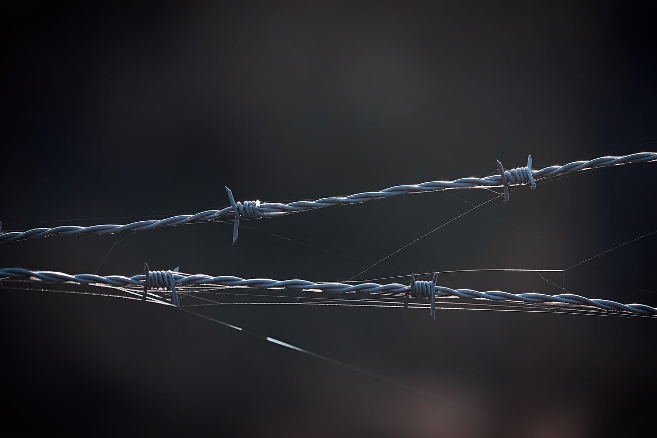
India and Pakistan have fought multiple wars since 1947, most of them over Kashmir — a territory whose fate was left dangerously unresolved in the scramble of that summer. Both nations now hold nuclear weapons and point them at each other across that hastily drawn frontier. The mistrust seeded in 1947 shapes the politics of a fifth of humanity to this day.
A border is supposed to be the careful product of negotiation, geography, and consent. This one was the product of exhaustion, secrecy, and a stopwatch. A man who had never seen the land drew a line through it in five weeks, then flew home and, by his own account, destroyed his papers and refused his fee, wanting nothing more to do with what he had done.
The people who lived along that line never had the luxury of walking away from it. Three-quarters of a century later, they still don’t.
Sources & further reading
Researched and written with the help of AI tools and edited for accuracy. Provided for general information and discussion only — not professional advice. See our editorial standards and disclaimer. Spotted an error? Tell us.
Enjoyed this? Get the next one.
One good read at a time, straight to your inbox. No spam, unsubscribe anytime.